Boundary / Property Surveys
Boundary / Property Surveys in La Grange Park, IL
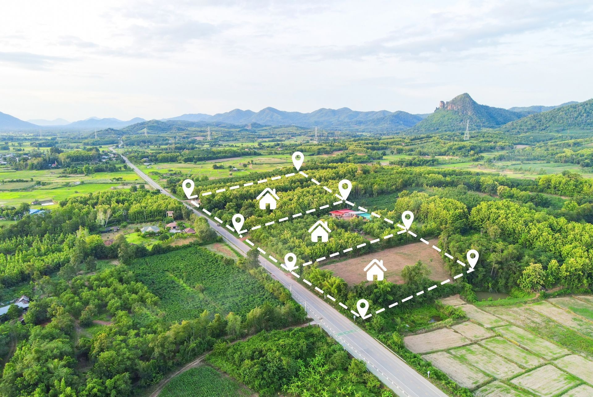
Clearly defined property lines are essential for homeowners, developers, attorneys, and real estate professionals in La Grange Park, IL. Boundary and property surveys establish the exact legal limits of a parcel of land, providing documented clarity that supports construction, property transfers, and dispute resolution. Schomig Land Surveyors performs detailed boundary and property surveys throughout La Grange Park, ensuring that land ownership is accurately measured and properly documented.
In established communities where properties may have been subdivided, improved, or transferred over many decades, original markers can shift, become buried, or disappear entirely. A professional boundary survey restores clarity by combining historical research with modern field measurement techniques to determine precise lot lines.
What Is a Boundary or Property Survey?
A boundary survey is a comprehensive process that determines the exact legal perimeter of a property. This involves reviewing recorded deeds, subdivision plats, easements, and historical survey records, followed by precise field measurements to locate or reestablish boundary markers.
In La Grange Park, IL, boundary surveys often reveal how physical improvements such as fences, driveways, patios, and garages relate to property lines. The completed survey provides a clear map or drawing that shows lot dimensions, boundary lines, encroachments, and relevant easements.
Property surveys are foundational documents for both residential and commercial landowners. They serve as legal references when questions arise about ownership limits and are frequently required during development, refinancing, or property sales.

When Boundary Surveys Are Necessary
Boundary and property surveys in La Grange Park, IL are often needed in specific scenarios where accurate property line identification is critical.
Construction Near Property Lines
Homeowners planning to build additions, garages, decks, or fences must know the exact location of their property lines to comply with local setback requirements. A boundary survey ensures that improvements are positioned within legal limits and do not encroach onto neighboring land.
Real Estate Transactions
Buyers, sellers, and lenders may require an updated property survey before closing. This confirms that structures are located within the boundaries described in the deed and that no encroachments or boundary discrepancies exist that could affect title.
Boundary Disputes
Disagreements between neighboring property owners often stem from unclear or assumed lot lines. A professionally conducted survey provides documented evidence of the true boundary based on legal descriptions and physical measurements.
Subdivision or Lot Adjustments
When property owners intend to divide land or adjust lot lines, a boundary survey establishes existing conditions before legal changes are recorded.
The Boundary Survey Process
Conducting a boundary or property survey in La Grange Park, IL involves several technical steps designed to ensure legal accuracy and precision.
Record Research
The process begins with a detailed examination of public records, including deeds, plats, and previous surveys. Surveyors analyze legal descriptions and compare them to surrounding properties to understand how each parcel fits within the broader subdivision or block layout.
Field Investigation
Using advanced surveying equipment, professionals measure angles and distances across the property. Existing boundary monuments are located whenever possible. If original markers cannot be found, new monuments may be set in accordance with Illinois surveying standards.
Fieldwork also includes documenting visible features that relate to property lines, such as fences, retaining walls, and permanent structures.
Data Analysis and Mapping
After field measurements are completed, the data is analyzed and translated into a detailed survey drawing. The final document clearly illustrates property boundaries, dimensions, easements, improvements, and any encroachments discovered during the survey.
This drawing becomes an official record that can be used for construction planning, legal reference, or submission to local authorities.
Encroachments and Easements
Boundary surveys in La Grange Park, IL frequently identify easements and potential encroachments that may affect how a property can be used.
Easements
An easement grants certain rights to utility companies, municipalities, or neighboring property owners to use a portion of land for specific purposes. Common examples include utility lines, drainage access, and shared driveways. A property survey will show the location and extent of recorded easements.
Encroachments
Encroachments occur when a structure extends beyond the legal boundary onto another property. This can include fences, garages, overhanging rooflines, or driveways. Identifying encroachments early helps property owners address potential conflicts before they escalate.
Regulatory Considerations in La Grange Park, IL
Local zoning ordinances and building codes in La Grange Park, IL often require accurate boundary information before issuing permits. Setback requirements, lot coverage limits, and utility access corridors all depend on clearly defined property lines.
Schomig Land Surveyors conducts boundary and property surveys with attention to local regulations and Cook County recording requirements. Each survey is prepared to meet professional standards, ensuring it can be used for municipal review, legal documentation, or development planning.
In a community where properties range from historic homes to newly improved parcels, maintaining clear boundary documentation is essential. Boundary and property surveys provide landowners in La Grange Park, IL with the precise information needed to manage, transfer, and improve their property with documented accuracy.